|
|
|
|
GARMIN's inland G-charts are available for the contiguous 48 United States and provide detailed coverage of most inland lakes and reservoirs to a 1 nm scale. Interstates, national and state highways, and county roads adjacent to lakes and reservoirs covered are also displayed. A variety of other items such as boat ramps, dams, mile markers, marinas, campgrounds, and other areas of interest are also displayed. Depth contours are not provided.
Do to the complex nature of G-charts, we ask you to venture to the Garmin website. You can find the G-chart you need by clicking the links below. When you find the G-chart number write it down and enter it in the space below and click "add to your shopping cart". You can use your browser's "BACK" button after you find the number to reload this page.
Please contact Garmin Direct for G-Charts. We are no longer able to burn G-Charts.
|
|
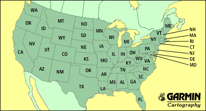 |
Inland G-charts are available for the contiguous 48 United States and provide detailed coverage of most inland lakes and reservoirs to a 1 nm scale. Interstates, national and state highways, and county roads adjacent to covered lakes and reservoirs are also displayed. A variety of other items such as boat ramps, dams, mile markers, marinas, campgrounds, and other areas of interest are also displayed. (Coverage must have been available at the time of production.)
|
|
|
Suggested Retail Price $99.99
Our Price: $89.00
|